Remote sensing and AI
Multi-modal imagery processing, feature extraction, classification, segmentation, and intelligent change detection.
We combine satellite imagery, GIS, SAR, LiDAR, and AI to turn complex landscapes into clear decisions for infrastructure, forests, and disaster response.
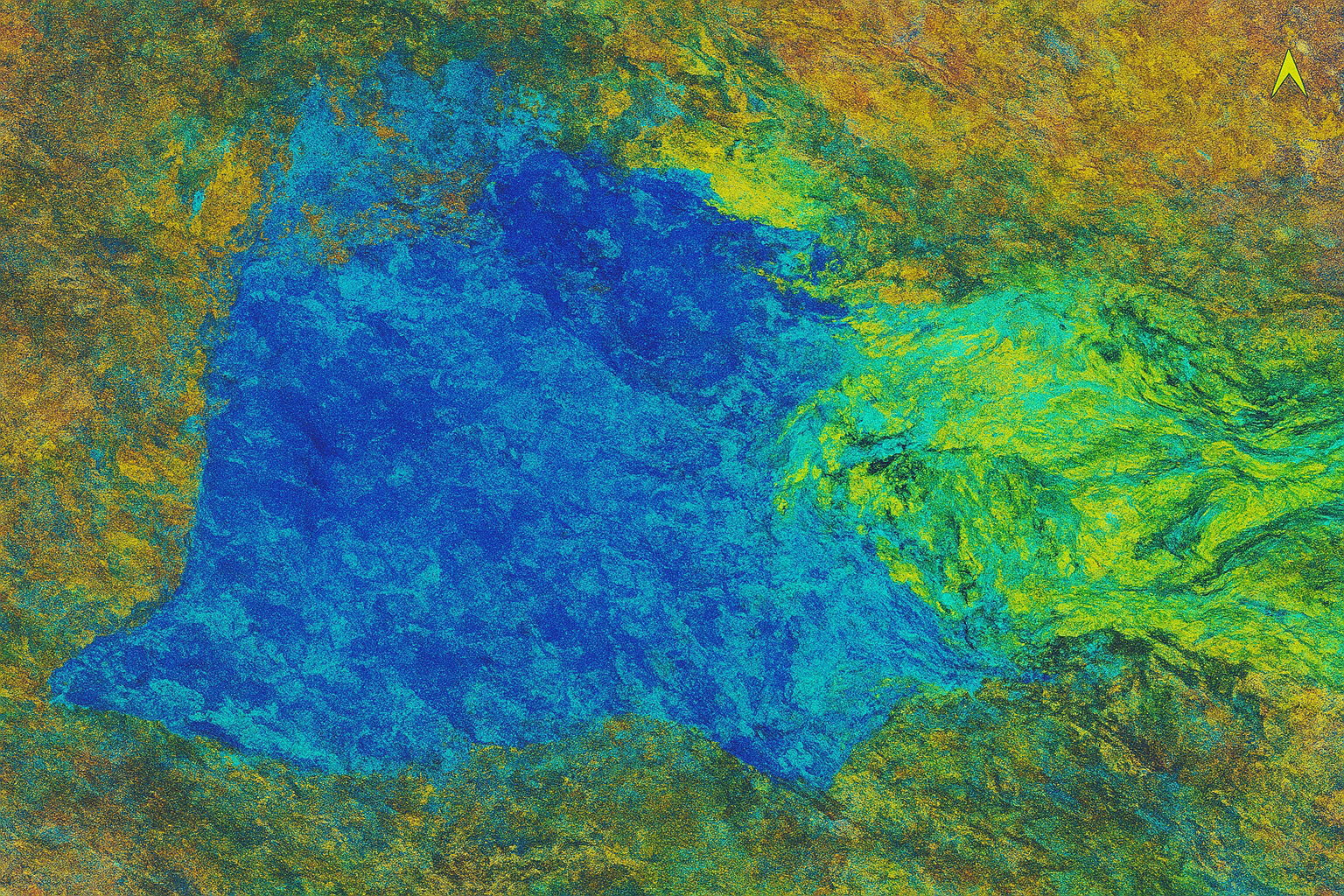
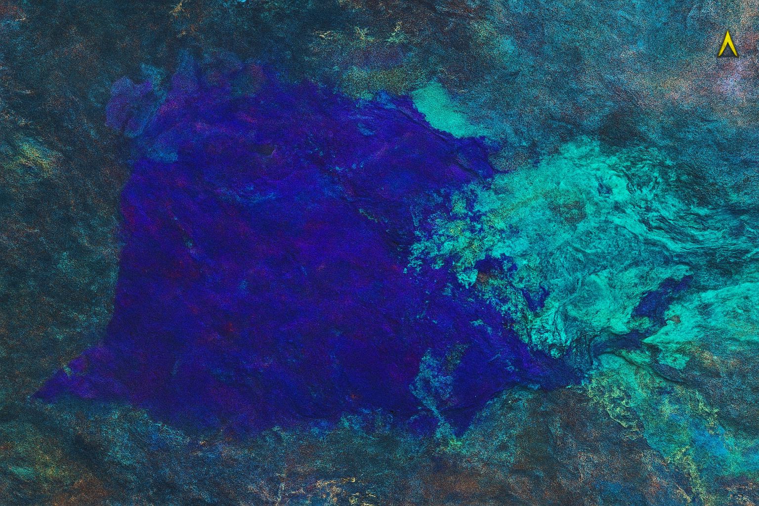
From reconnaissance to production workflows, built for real-world use across Nepal and beyond.
Multi-source spatial analytics with a clean delivery pipeline.
Clear outputs for planning, monitoring, and operational response.
Projects where traceability, speed, and accuracy all matter.
Focused, production-friendly services designed to move from datasets to decisions without visual clutter or process drift.
Multi-modal imagery processing, feature extraction, classification, segmentation, and intelligent change detection.
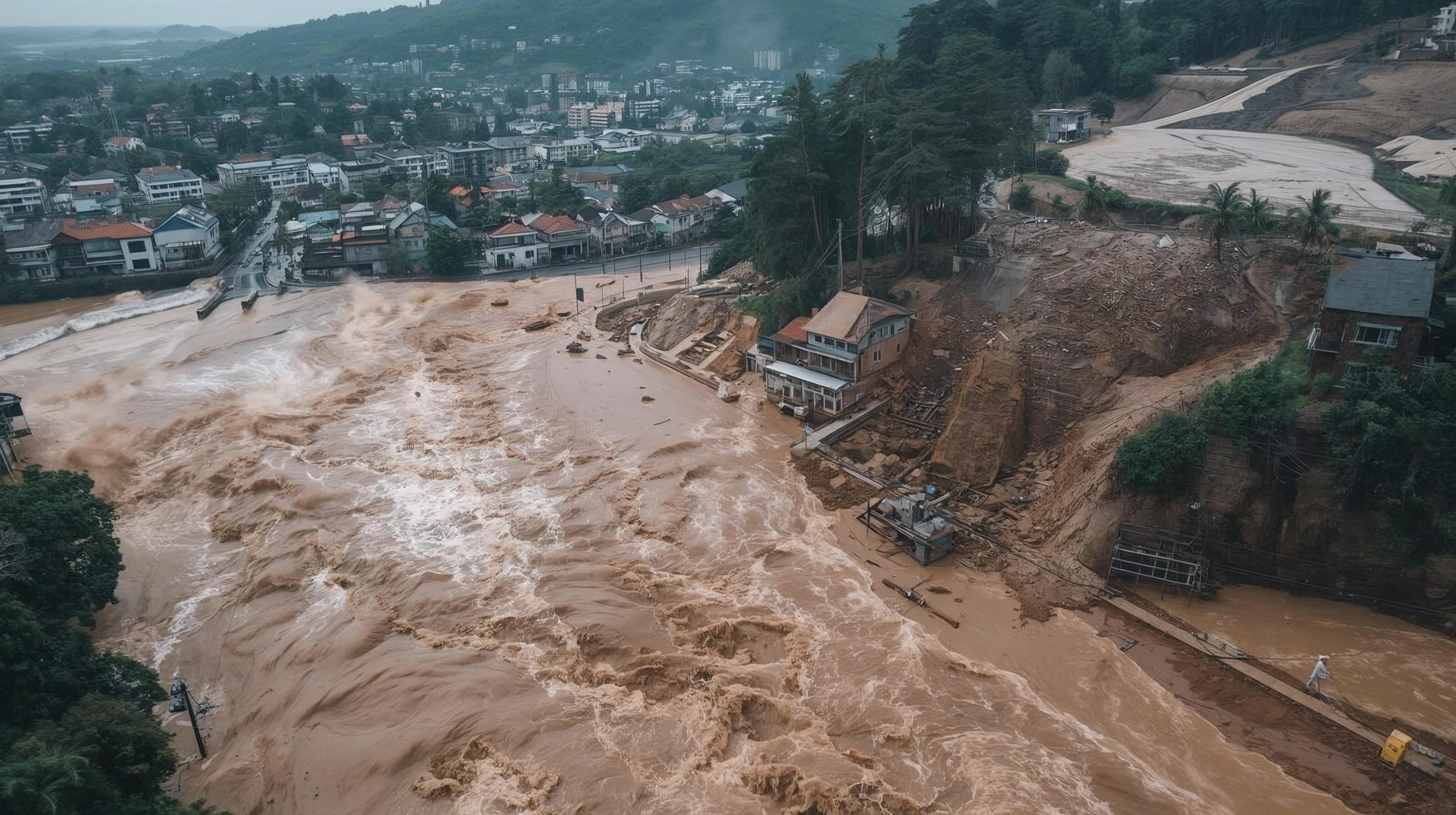
Flood, landslide, and earthquake support workflows that help teams assess impact quickly and consistently.
Fire monitoring, canopy analysis, biomass estimation, and carbon-oriented geospatial support.
High-quality cartography, spatial planning support, and map products built for stakeholder communication.
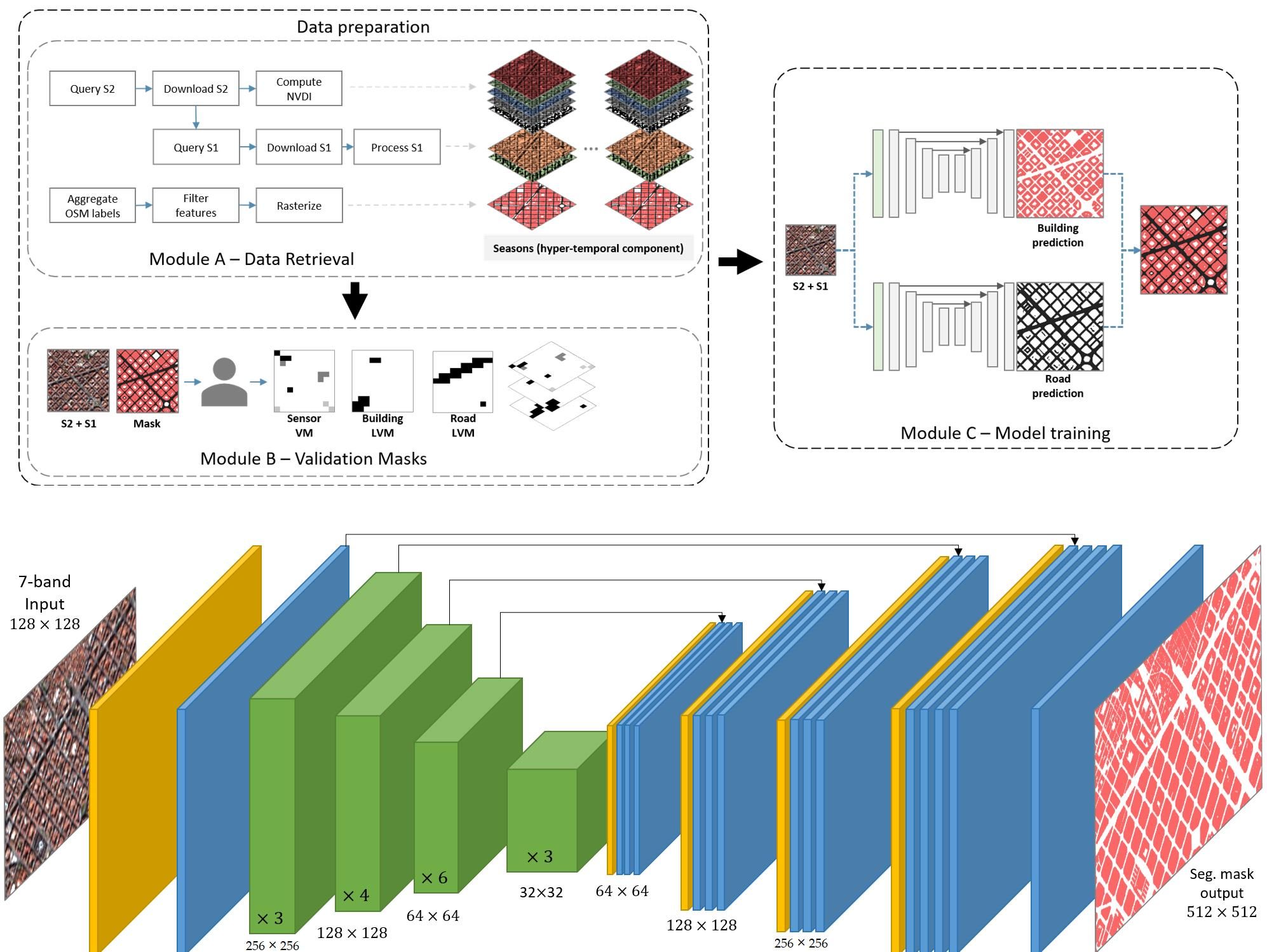
Centroid-based patch extraction and UNet workflows for high-resolution orthophoto analysis.
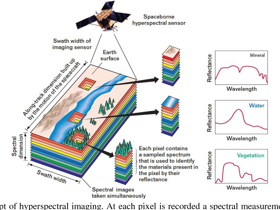
Spectral signature analysis for identifying and mapping minerals from continuous bands.
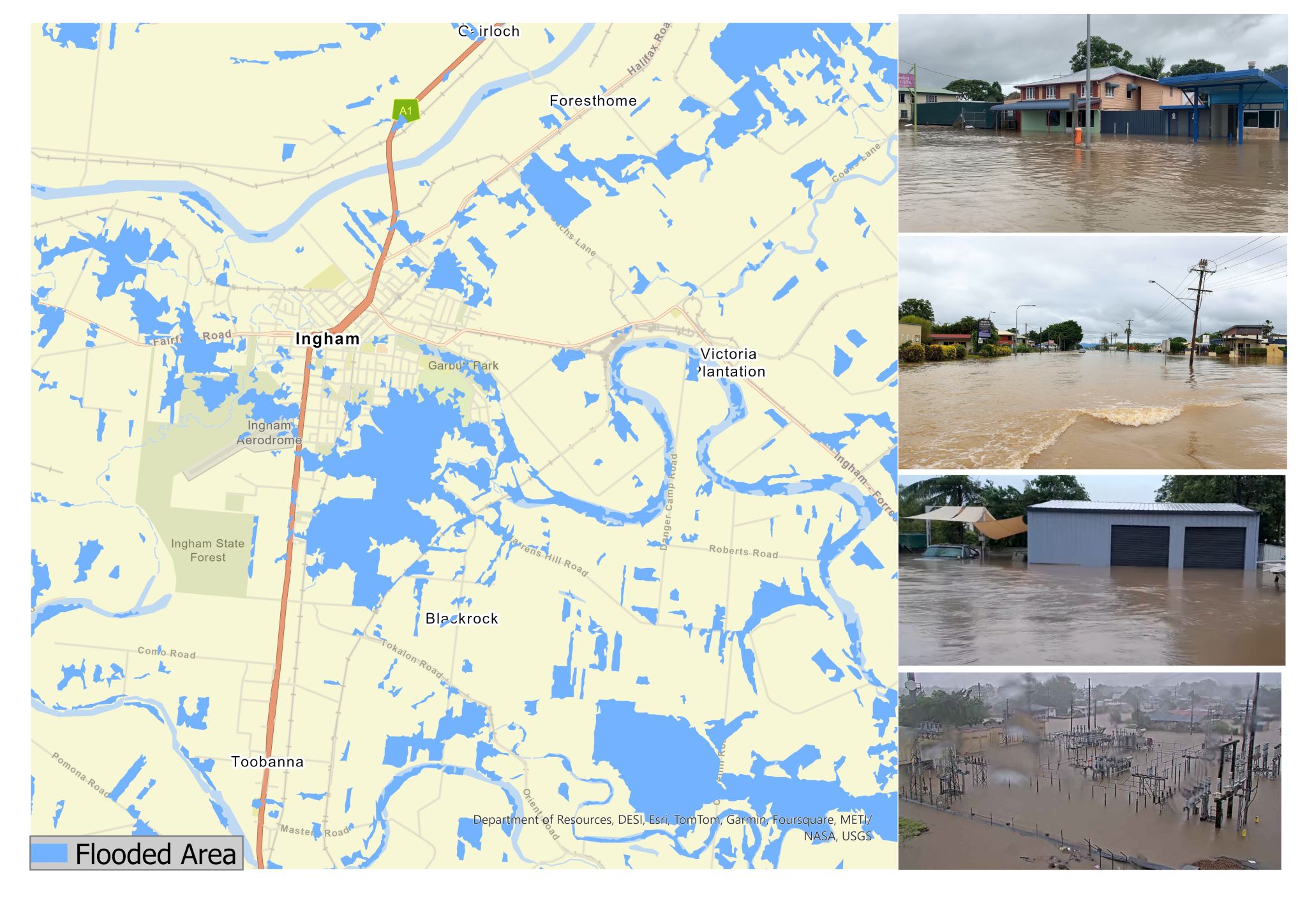
Rapid flood and damage assessment using automated SAR processing and repeatable delivery steps.