Remote Sensing and GIS
Satellite and aerial imagery analysis for land use, environmental monitoring, and spatial planning.
We work across Remote Sensing, GIS, LiDAR, SAR, and Hyperspectral workflows to support monitoring, planning, and resilience programs.
Satellite and aerial imagery analysis for land use, environmental monitoring, and spatial planning.
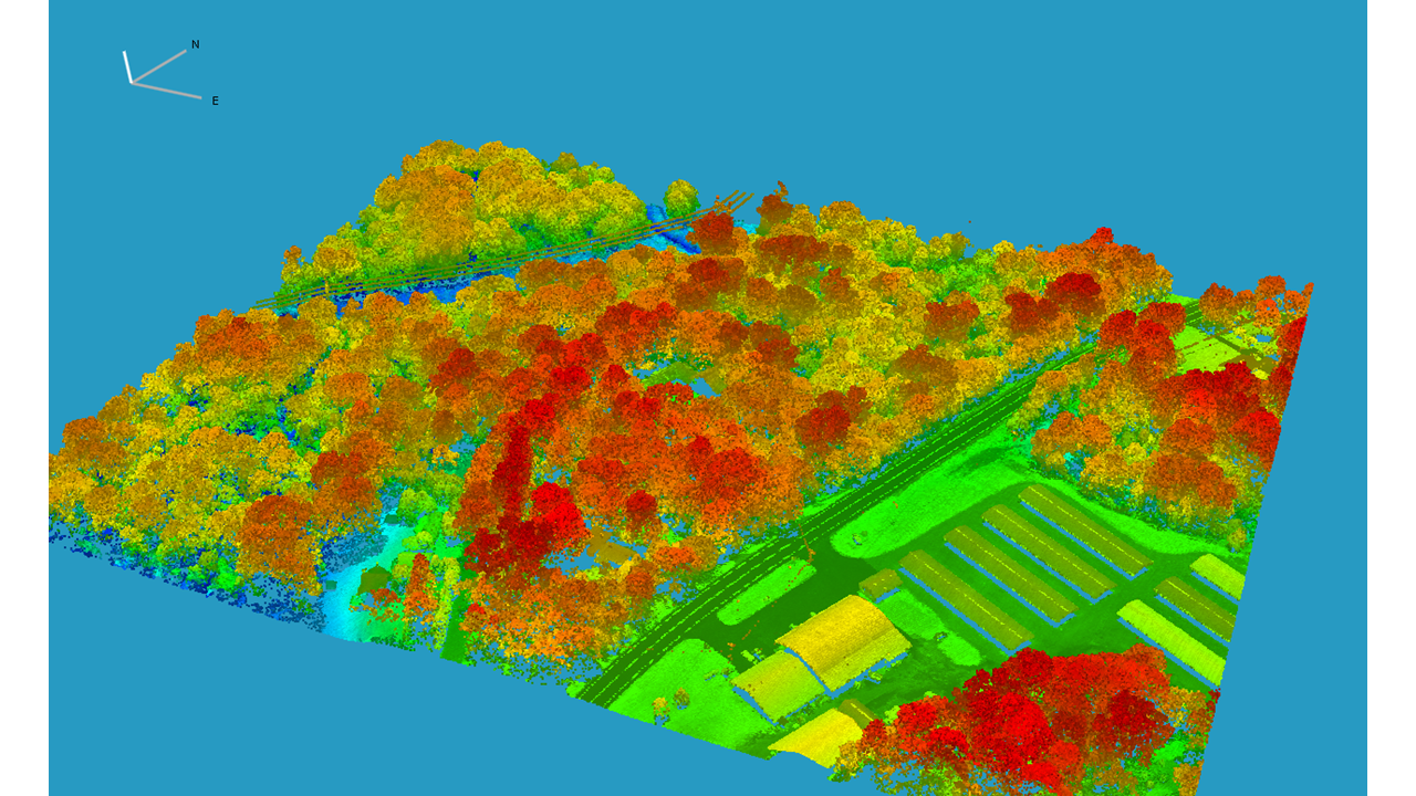
High-resolution 3D mapping for topography, vegetation, and infrastructure modelling.
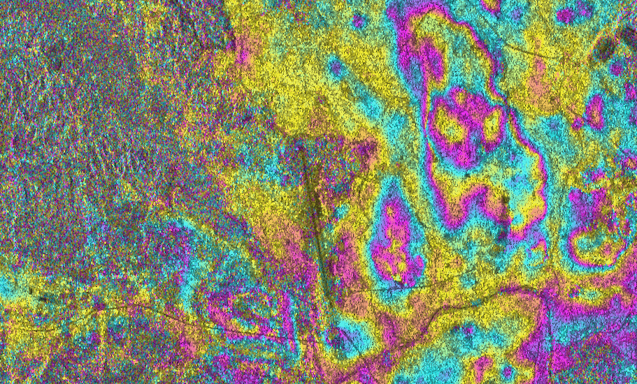
All-weather, day-and-night monitoring for flood mapping, subsidence detection, and disaster analysis.
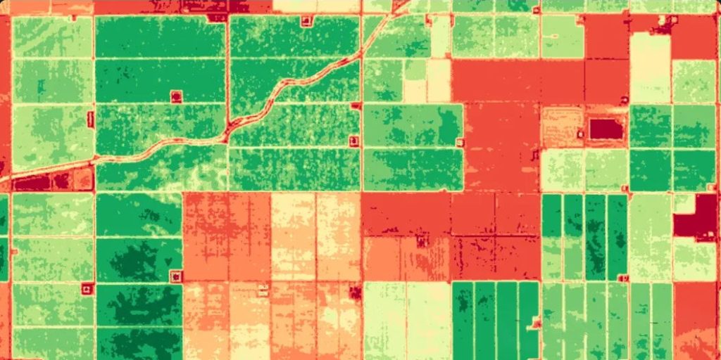
Detailed material and vegetation assessment for precision agriculture and environmental studies.
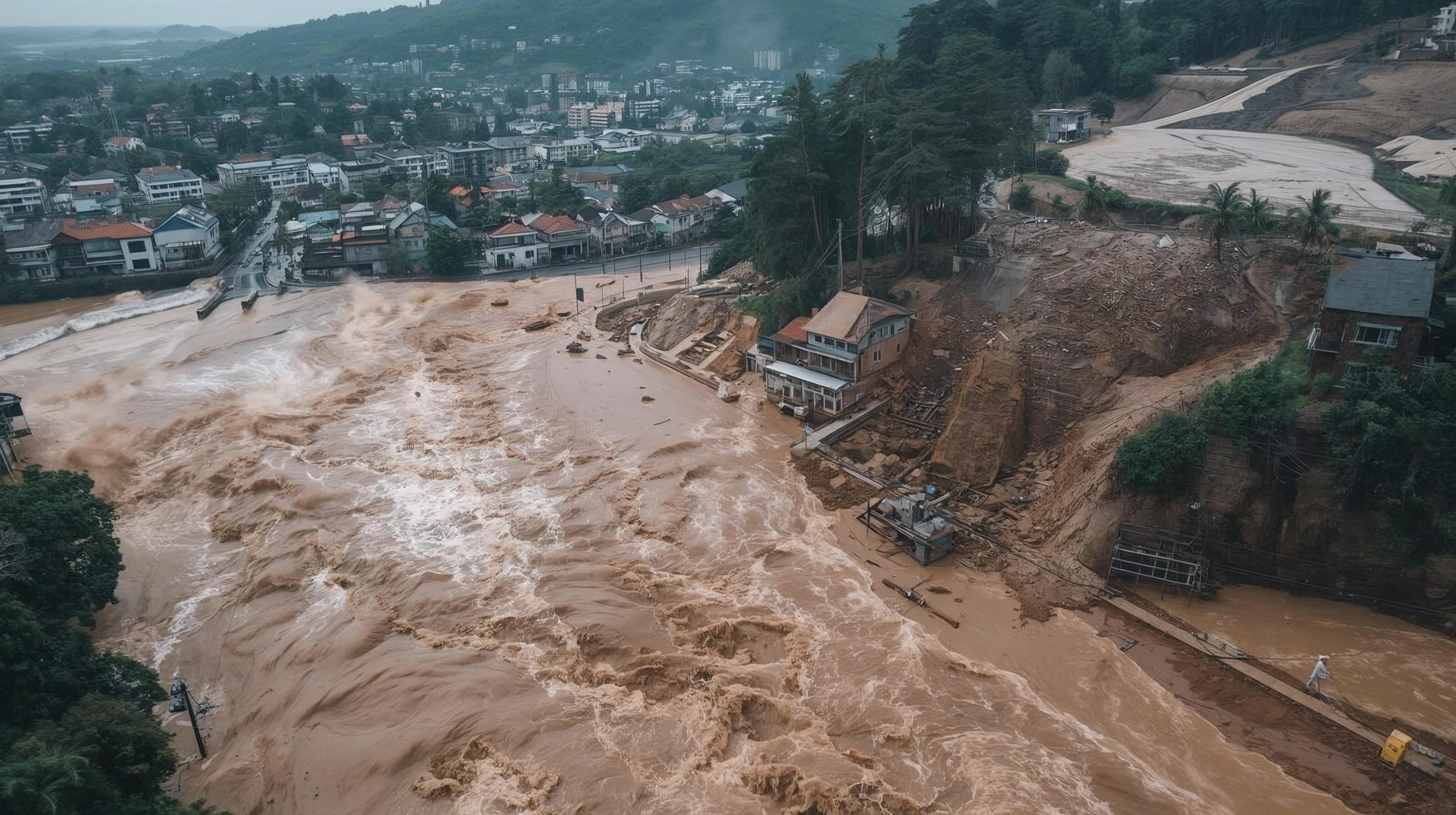
Early warning, damage assessment, and analytics for disaster preparedness and response.
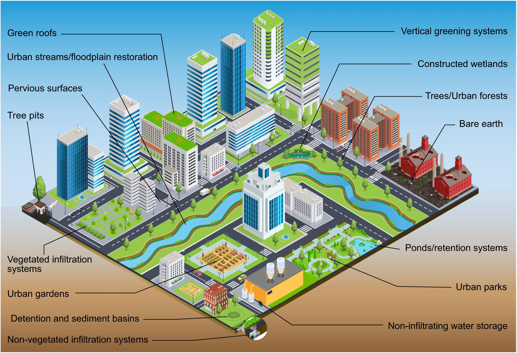
Spatial planning and smart city support for sustainable urban development.